
- calendar_today May 18, 2026
Southeast Texas Braces for Stormy Weather and Heavy Rain Through Memorial Day Weekend
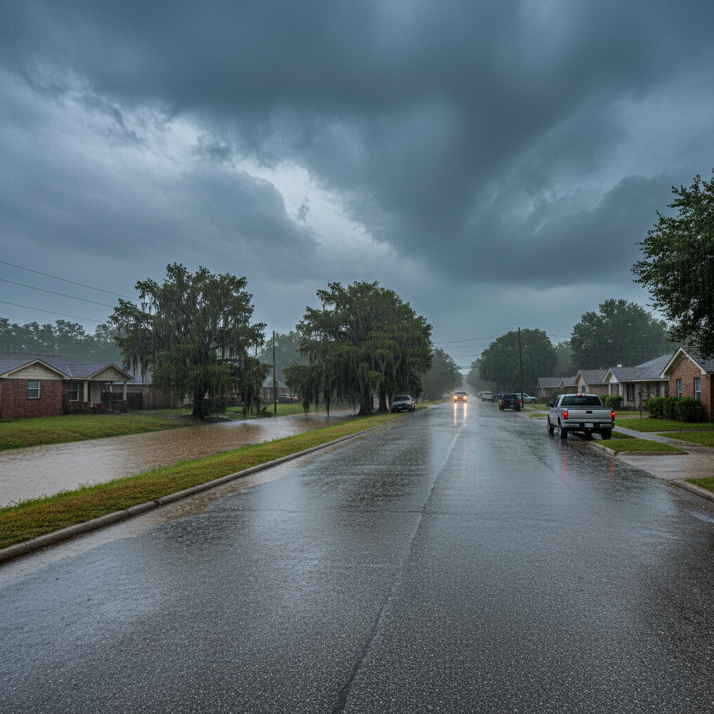
Texas residents are preparing for an active stretch of weather as southeast Texas weather is set to include several rounds of showers and thunderstorms beginning Tuesday evening and lasting through Memorial Day, according to the latest updates from ABC13 Weather Watch. The extended forecast highlights a combination of a cool front and multiple jet stream disturbances leading to unpredictable weather patterns that could impact local communities across the region.
Multiple Rounds of Severe Storms Expected
The onset of severe storms is anticipated as early as Tuesday night with the arrival of a cool front, which is expected to stall midweek. This atmospheric setup, intensified by jet stream disturbances, will produce ongoing storm chances across southeast Texas. Local emergency management officials are monitoring conditions closely, as strong thunderstorms could bring hazards such as gusty winds and small hail to affected neighborhoods.
Rainfall Forecast and Rain Totals
Weather models indicate rain totals in some areas could reach 3 to 5 inches, with isolated pockets potentially seeing as much as 6 to 8 inches over the next several days. While widespread flooding is not currently projected, the rainfall forecast points to daily threats of urban flooding, particularly in regions with poor drainage or saturated soils. Bayous, creeks, and streams are likely to run elevated throughout the week, though bayou flooding is not anticipated at this time.
Flash Flooding and Urban Flooding Risks
The risk for flash flooding remains present, especially if heavy showers develop rapidly over saturated ground. Local officials urge residents of southeast Texas to stay vigilant, as intense rainfall events can quickly overwhelm infrastructure, heightening the chances of localized urban flooding. Monitoring official alerts and staying tuned to regional weather advisories is advised as the situation evolves.
Gusty Winds and Other Storm Hazards
Alongside significant rainfall, many of these storms will pose additional hazards. Gusty winds have the potential to down tree limbs and temporarily disrupt power to homes and businesses. Small hail cannot be ruled out as stronger cells develop, warranting extra caution for those traveling or participating in outdoor activities during periods of active weather. Local public works departments in Texas remind residents to secure loose items in yards and prepare for possible power fluctuations.
Memorial Day Weekend Outlook
For those planning to observe Memorial Day weekend in southeast Texas, the active weather pattern continues into Saturday, with lingering showers and storms possible. However, some improvement is expected by Sunday and Monday as storm chances diminish and rain tapers in most locations. Daytime temperatures will remain seasonally warm, with lows dipping into the low to mid-70s and highs climbing to the mid- or upper 80s, providing some respite for holiday events and gatherings.
Regional Preparedness and Staying Informed
City officials and weather experts recommend that communities across southeast Texas stay informed on the latest weather developments throughout this unsettled period. Keeping track of the latest rainfall forecast, monitoring storm chances, and paying attention to official updates on severe storms will be key to ensuring personal safety. Regional agencies emphasize the importance of flood awareness and readiness, especially during this time of heightened southeast Texas weather activity.


