
- calendar_today July 12, 2026
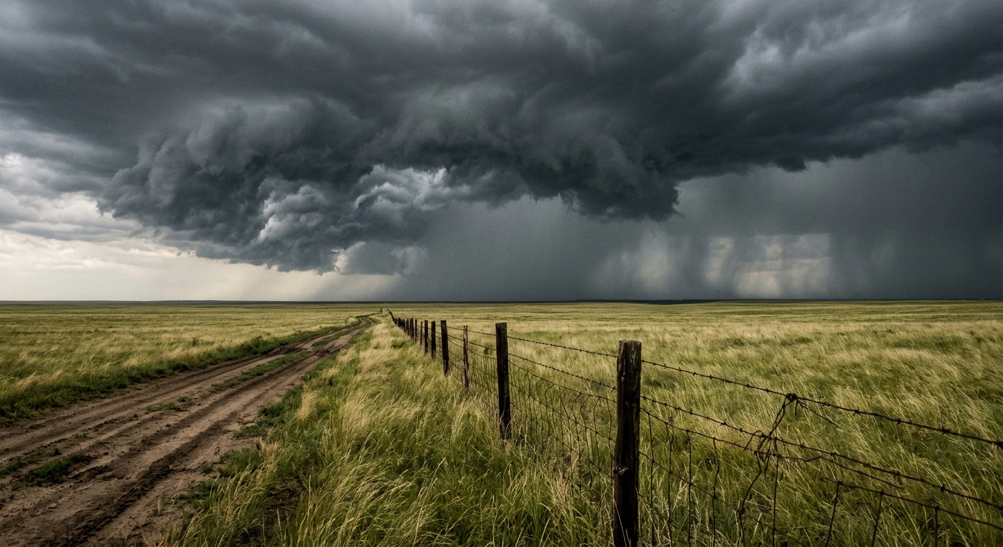
Texas — The Texas Panhandle weather outlook for Sunday, July 12, 2026, signals heightened concern as residents brace for severe storms that may deliver hail, flash flooding, damaging winds, and a low risk of tornadoes across the region.
Severe Thunderstorms Target Central and Southern Panhandle
The National Weather Service has issued an alert for severe thunderstorms expected primarily in central and southern portions of the Panhandle. These storms are forecast to occur from mid-afternoon through the evening, mainly between 3 and 11 p.m. Meteorologists caution that some cells may produce hail in the Texas Panhandle up to half an inch in diameter and damaging winds that could reach 60 miles per hour.
Flash Flooding and Storm Warnings Remain a Priority
Of particular concern is the possibility of flash flooding, especially as slow-moving storms develop over already saturated ground. Heavy rainfall is expected throughout Sunday afternoon and into the night, with the National Weather Service urging residents in vulnerable areas to monitor official storm warnings and prepare for rapidly changing weather conditions. Runoff from these storms could lead to urban and small-stream flooding, impacting local infrastructure and travel routes.
Tornado Threat and Thunderstorm Chances Vary by Area
While the overall tornado threat remains low, forecasters are not ruling out the potential for isolated tornado activity. The greatest chance for thunderstorms centers on the vicinity of Hereford, where probabilities of storms are estimated at 40%, compared to 30% for much of the rest of the region. Elsewhere, thunderstorm chances are described as scattered and isolated, yet capable of producing severe weather impacts.
Overnight Storm Activity Continues
The risk of unsettled weather will not diminish with nightfall. Forecasters anticipate lingering Texas Panhandle storms could persist overnight into Monday, keeping the hazards of small hail, strong winds, and flash flooding in play from 1 to 10 p.m. Monday. These extended s periods of rainfall and storm activity are expected to challenge emergency services and could affect Monday morning routines in affected communities across the Texas Panhandle.
National Weather Service Urges Caution and Preparedness
The National Weather Service encourages residents to remain vigilant and stay informed through local weather updates, especially given the unpredictable timing and locational variability of these storms. With severe thunderstorms, damaging winds, and the possibility of hail in the Texas Panhandle, locals are advised to secure outdoor items, have flashlights ready, and review family emergency plans.
Preparing for Changing Weather Conditions
As the weather forecast suggests, preparation is key. Residents are urged to monitor official weather sources, as new storm warnings and advisories may be issued on short notice. Area schools, businesses, and first responders are on alert, taking proactive steps to protect communities from Sunday’s unpredictable weather shift. Meteorologists reinforce that even stationary or isolated Texas Panhandle storms can become hazardous quickly due to slow movement and localized rainfall intensity.
Regional Communities Urged to Monitor Updates
With thunderstorm chances fluctuating across Texas, local leaders and meteorological officials continue to prioritize public safety for residents of the Panhandle. As North Texas braces for a weekend of uncertain weather, the message remains clear: Stay alert, heed warnings, and take precautions against the risks of hail, flash flooding, damaging winds, and even the remote tornado threat.


