- calendar_today June 21, 2026
The 2026 Atlantic hurricane season has commenced with a subdued start in Texas, as the first named storm, Tropical Storm Arthur, formed offshore of the Southeast Texas coast. Despite a quiet opening, the state and regional authorities urge residents to remain vigilant during the storm season.
Early Season Activity: Tropical Storm Arthur’s Impact
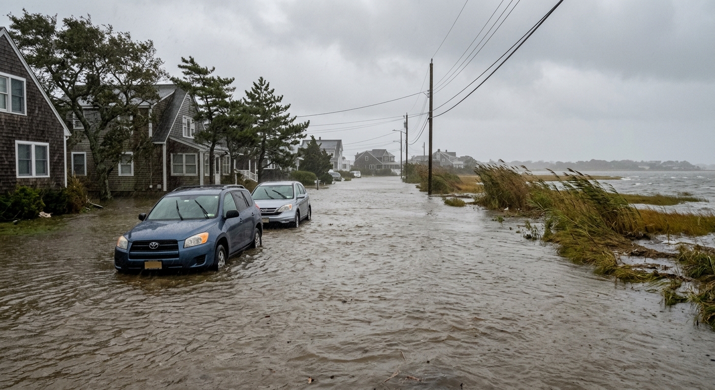
Tropical Storm Arthur, developing in early June, delivered tropical storm force winds, pounding rain, and prompted warnings for flash flooding across portions of the Gulf Coast, including Southeast Texas. Emergency officials were quick to issue advisories, referencing prior Texas flooding events to underscore the potential dangers. Arthur moved inland before dissipating, leaving behind localized damage and renewed awareness of seasonal risks in communities from Houston to the Northeast Gulf region.
Environmental Conditions: Saharan Dust and Wind Shear Limit Storms
Throughout June, multiple atmospheric disturbances and areas of low pressure were monitored by the National Hurricane Center for possible tropical development, but unfavorable environmental conditions prevailed. A persistent presence of Saharan dust over the Atlantic, coupled with elevated wind shear, created an inhospitable environment for storm intensification. These atmospheric phenomena significantly curbed the formation and sustainability of tropical systems, contributing to the season’s subdued start in Texas.
El Niño’s Influence on the 2026 Outlook
According to the official NOAA forecast, the Pacific’s emerging El Niño conditions are expected to dominate the 2026 hurricane season outlook. Typically, El Niño results in increased upper-level wind shear across the Gulf of Mexico and Caribbean, further diminishing the likelihood of strong tropical cyclones developing or intensifying. Historical comparisons to previous El Niño years, such as 2015, reveal a consistent pattern of below-normal Atlantic hurricane activity, although notable storms have still affected Gulf states, including Texas.
Historical Parallels and Local Preparedness
In years marked by El Niño, Texas has experienced fewer major landfalls, but impactful storms like 2015’s Tropical Storm Bill have demonstrated that even less active seasons can yield dangerous weather. That storm caused widespread flooding and significant disruption for local residents. The ongoing vigilance by public agencies means that, despite a calmer than average forecast, Texans near the coast and further inland are being reminded not to let their guard down, especially in flood-prone areas.
Communities in the Northeast Gulf and Beyond Remain Watchful
Regional communities, particularly along the Northeast Gulf and within urban centers such as Galveston and Beaumont, continue to monitor updates and prepare hurricane response plans. Local authorities stress that it takes only one significant event each year to threaten life and property, underscoring the importance of staying alert to potential flash flooding and severe weather advisories.
Monitoring and the Road Ahead
With the season underway, experts emphasize the value of regular outlooks and preparedness measures. The latest hurricane season outlook offers Texas residents some relief but also serves as a reminder that weather patterns can shift unexpectedly. State and local agencies collaborate closely with meteorological services, leveraging historical data and modern forecasting tools to provide timely information as conditions evolve.
As monitoring continues across the Gulf and Atlantic basins, Texans are encouraged to remain proactive, reinforce emergency kits, and stay informed throughout the summer and fall. While the 2026 Atlantic hurricane season has started quietly, history has shown that even a single storm can have lasting effects on the region’s communities and infrastructure.